Project Blog
Old Maps at the University Library
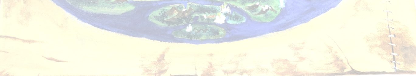
The Utrecht University Library Special Collections division has an impressive collection of maps. Digitalized maps can be accessed online, through the library’s geographic search engine .
The University Library’s extensive digitalization initiative is described in this video:
The digitalized maps are made accessible in the Georeferencer tool (a very accessible and useful explanation is provided by the library on this page about georeferencing). This fantastic digital resource enables the user to overlay and compare maps of the same area from various periods, including the most current maps.
Post by Natalia Petrovskaia