Project Blog
Maps of Europe at the BnF
This year we are more reliant than ever on digital resources not only for research, but for recreation (a growing number or virtual museums and virtual exhibitions have made this possible).
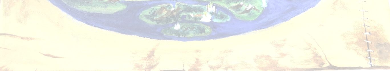
Whilst not strictly speaking an exhibition, the Bibliothèque nationale de France has a fantastic site dedicated specifically to maps of Europe. There is also a brief discussion on the first page of the history of the concept of Europe, with mention of not only the classical geographer Ptolemy, but also of medieval maps (portulans, as well as the earlier T-O-style mappae mundi/mappemondes). There are links throughout that page to further resources, including a dossier pedagogique on medieval maps (mappemondes) (in French). This dossier introduces the concept of the medieval world map, its history, its types, as well as giving information on world maps of other traditions. There are illustrations depicting these maps, and a brief bibliography, including scholarship up to the early years of the twenty-first century. With further links to other resources available on this website, as well, there is ample opportunity for further exploration of the subject!
The map below is a portulan dated to 1339 by Angelino Dulcert. Authorship and date are found in an inscription on the map itself. It is reproduced here with south at the top. The map is described in the BnF catalogue as “Carte marine de la mer Baltique, de la mer du Nord, de l’océan Atlantique Est, de la mer Méditerranée, de la mer Noire et de la mer Rouge” Source: gallica.bnf.fr / Bibliothèque nationale de France. For more, see https://gallica.bnf.fr/ark:/12148/btv1b52503220z/f1.item .
Post by NP