Nieuws
Project book
The results of the ‘Defining “Europe” in medieval European Geographical Discourse’ project have been published in monograph form, as Transforming Europe in the Images of the World, 1110-1500. Fuzzy Geographies. The book is published by Amsterdam University Press, as part of the Knowledge Communities Series.
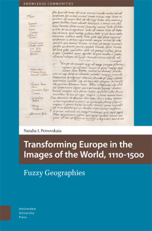
This is the first book to examine the wide and important geographical tradition that arose from the description of the world in the Imago mundi – a medieval encyclopedic bestseller, almost unrivalled in popularity from its composition in the 1110s well into the age of print. The Imago mundi was translated into most European vernaculars and extracts from it were adapted into vernacular works ranging from encyclopedias to literary fiction, verse and prose. The book is also the first to examine this tradition as a unified whole. It focuses in particular on the permutations undergone by the depiction of the region designated as ‘Europe’ in the original text and its later adaptations. This study demonstrates the incredible flexibility of the original text and how this enabled the transformation of this spatial description to suit the linguistic, political and cultural needs of vernacular adaptations.
The book is open access, and available via the Amsterdam University Press website, the Open Access Platform, De Gruyter Brill, and JSTOR!